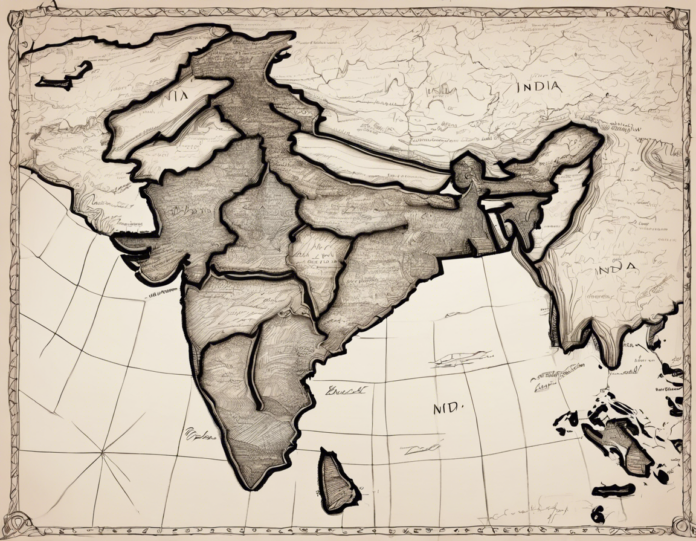
India is a country rich in culture, history, and diversity. Drawing a map of India is a great way to understand the geography of this beautiful country. In this step-by-step tutorial, we will guide you on how to draw an outline map of India focusing on its key features, such as states, major cities, and prominent geographical landmarks.
Materials Needed:
1. Blank white paper
2. Pencil
3. Eraser
4. Colored pencils or markers (optional)
Step 1: Outline of India
Start by drawing a rough outline of India on your blank paper. Use a reference image or map of India to get the correct proportions and shapes. India has a distinctive shape resembling a kite with a tail. Make sure to include all the major geographical features like the Arabian Sea, Bay of Bengal, and the Himalayan mountain range.
Step 2: Dividing States
India is divided into 28 states and 8 union territories. It is important to demarcate these borders on your map. Draw the state boundaries carefully, starting from Jammu and Kashmir in the north to Tamil Nadu in the south, and Gujarat in the west to Arunachal Pradesh in the east.
Step 3: Major Cities
Identify and mark some of the major cities on your map. Delhi, Mumbai, Kolkata, Chennai, and Bangalore are some of the prominent cities that should be included. Place them accurately within their respective states.
Step 4: Geographical Features
Add key geographical features like rivers, mountain ranges, and national parks to your map. The Ganges, Yamuna, Brahmaputra rivers, the Western and Eastern Ghats, and the Thar Desert are examples of some important features that should be highlighted.
Step 5: Detailing
Once you have the basic outline and features in place, you can add more details like borders of neighboring countries, neighboring seas, and any other relevant information that you want to include in your map.
Step 6: Coloring (Optional)
If you wish to add some color to your map, you can use colored pencils or markers to differentiate between states, cities, and geographical features. Use a color key if needed to make your map more informative.
Step 7: Finishing Touches
Review your map for accuracy and make any necessary corrections. Add a title to your map, such as “Map of India,” and don’t forget to sign your work to give it a personal touch.
Drawing a map of India can be a fun and educational activity that helps you learn more about the geography and diversity of this fascinating country. Practice regularly to improve your map-drawing skills and explore different styles and techniques to make your maps more creative and detailed.
Frequently Asked Questions (FAQs) about Drawing India Map
Q1: What are the basic steps to follow when drawing a map of India?
A1: Start by outlining the shape of India, then divide it into states and union territories, mark major cities, highlight geographical features, add details, color if desired, and finish with a title and signature.
Q2: How can I ensure the accuracy of my India map drawing?
A2: Use a reference image or map to ensure correct proportions, shapes, and placements of states, cities, rivers, and other features. Double-check your work before finalizing.
Q3: What are some key geographical features to include in an India map?
A3: Rivers like the Ganges and Brahmaputra, mountain ranges such as the Himalayas and Western Ghats, deserts like the Thar, and seas like the Arabian Sea and Bay of Bengal are important features to highlight.
Q4: Is it necessary to color my India map, or can I keep it in black and white?
A4: Coloring your map is optional but can make it more visually appealing and informative. You can use colored pencils or markers to add colors to states, cities, and geographical elements.
Q5: Can I add additional information like tourist spots or historical landmarks to my India map?
A5: Yes, you can include additional information like tourist destinations, historical landmarks, or cultural sites to make your map more detailed and interesting.
Drawing a map of India is a creative way to explore the diverse landscapes and regions of this vast country. Experiment with different styles and techniques to make your map unique and expressive of your artistic vision. Have fun and enjoy the process of map-making!

